Today, UAV-mounted sensors can provide a very precise image of a plot, with a resolution of a few centimetre. They measure the intensity of reflected light over a range of visible and near-infrared wavelengths, which is very useful to asses soil and vegetation parameters. Using, for example, the model developed in the UAVSoil project, it is possible to create a map of the soil organic content (SOC) after one single flight over a bare ground. This model is currently being validated, and the results are promising.
SOC contributes to nitrogen uptake through the mineralisation process. It is therefore an essential element to be considered when establishing a provisionnal balance sheet at the beginning of the season. Investigating the intra-field variability of SOC thus makes it possible to optimise nitrogen supply , by creating a nitrogen recommendation map that takes the heterogeneity of the SOC into account.
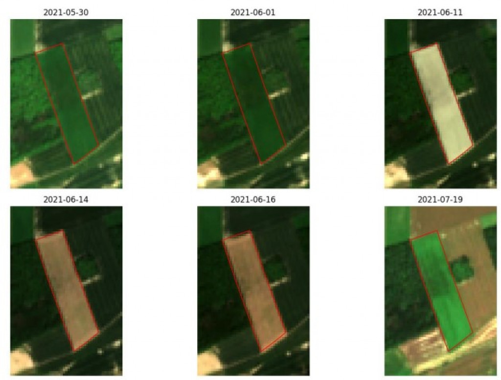
UAV flights have also been carried out at different times of the growing season in order to investigate the vegetation development. Maps produced in this way make it possible to study the relationship between the spatial variability of the crop development and the one of the soil parameters. First results for winter wheat show that this relationship does exist, and that it is stronger at the beginning of the season. Research is underway to determine the extent to which the heterogeneity of organic material can be defined on the basis of vegetation.
UAVSoil is a 2-year project undertaken in collaboration with UCL and funded by the Politique scientifique fédérale belge [Belgian Federal Science Policy] (BELSPO) as part of the STEREO III programme.
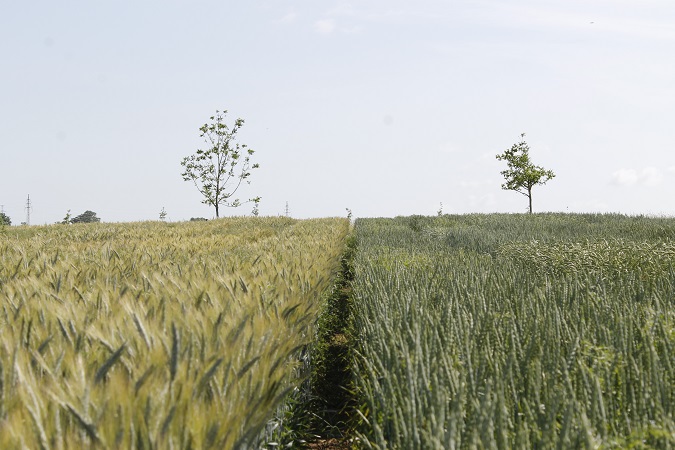
Source Photo: UAV Soil Project