Sentinel satellite images used for agricultural monitoring
The SAGRIWASENT project team is developing operational methods for the monitoring of agricultural activity in the Walloon region by means of SENTINEL satellite images.
Digital tools are not an end in themselves. They help farmers observe, decide and act better, to produce more efficiently, sustainably and with respect for the environment.
The SAGRIWASENT project team is developing operational methods for the monitoring of agricultural activity in the Walloon region by means of SENTINEL satellite images.
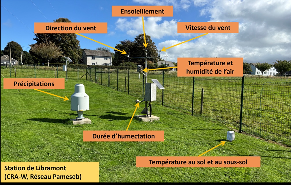
Agromet.be disseminates data from the 36 Pameseb weather stations and offers decision support tools to help farmers monitor their crops.

Agromet.be disseminates data from the 36 Pameseb weather stations and offers decision support tools to help farmers monitor their crops.
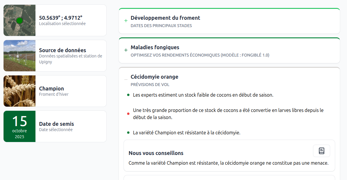
An open-access decision-support tool for anticipating weather-related plant health risks in winter wheat cultivation