
Internal search
Satellite
Reset
13 results
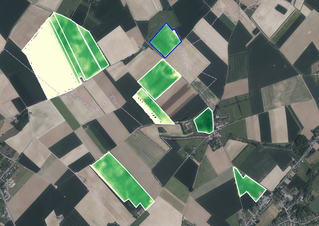
Satellites supporting farmers – BELCAM 2.0
BELCAM will have a new look, with a revamped, smartphone-compatible interface and new crop monitoring indicators

A digital twin for resilient agriculture
SaveCrops4EU – a new tool to support decision-making in the uncertain context of climate change!
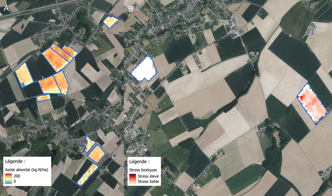
Monitoring cereals with hyperspectral satellites
The SPAGHYTI project aims to make the most of hyperspectral satellite images to monitor the (a)biotic stress and nitrogen status of winter wheat in fields located in Wallonia.
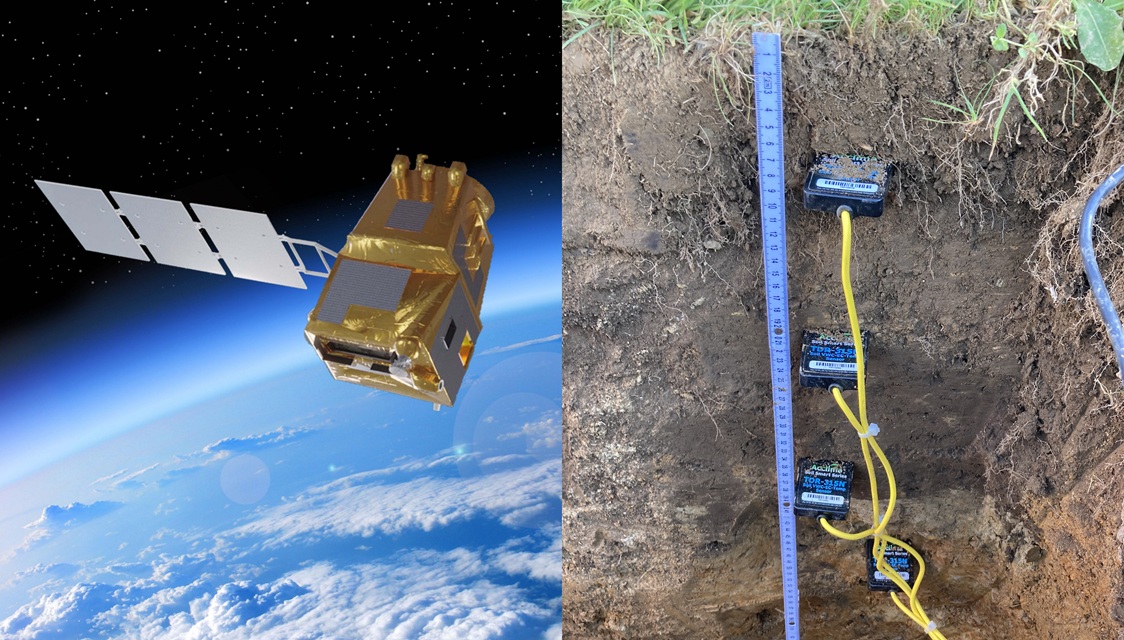
SENWISE
Prepare the new Sentinel satellite missions to meet monitoring needs in agriculture and forestry.
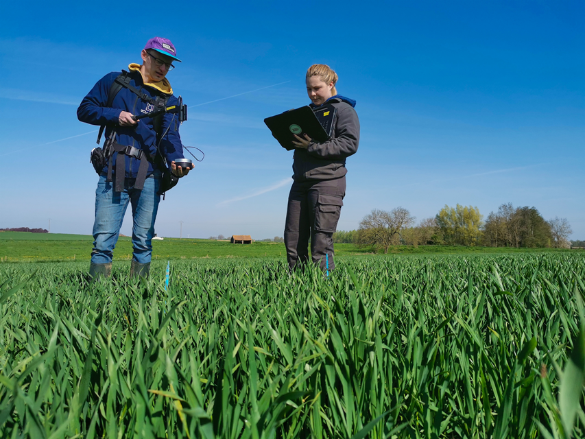
Satellites, the tool of tomorrow for crop monitoring...
In this context, the SPAGHYTI project aims to make the most of hyperspectral satellite images to monitor nitrogen status and (a)biotic stress at the level of winter wheat fields in...
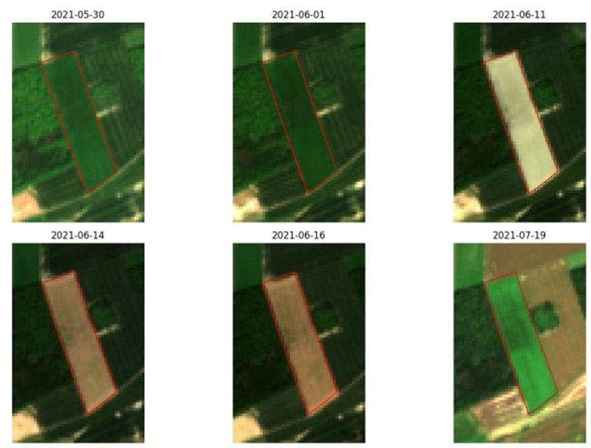
Sentinel satellites for agricultural monitoring
The SAGRIWASENT II project team at CRA-W is developing algorithms using SENTINEL satellite images to monitor agricultural activity in Wallonia.

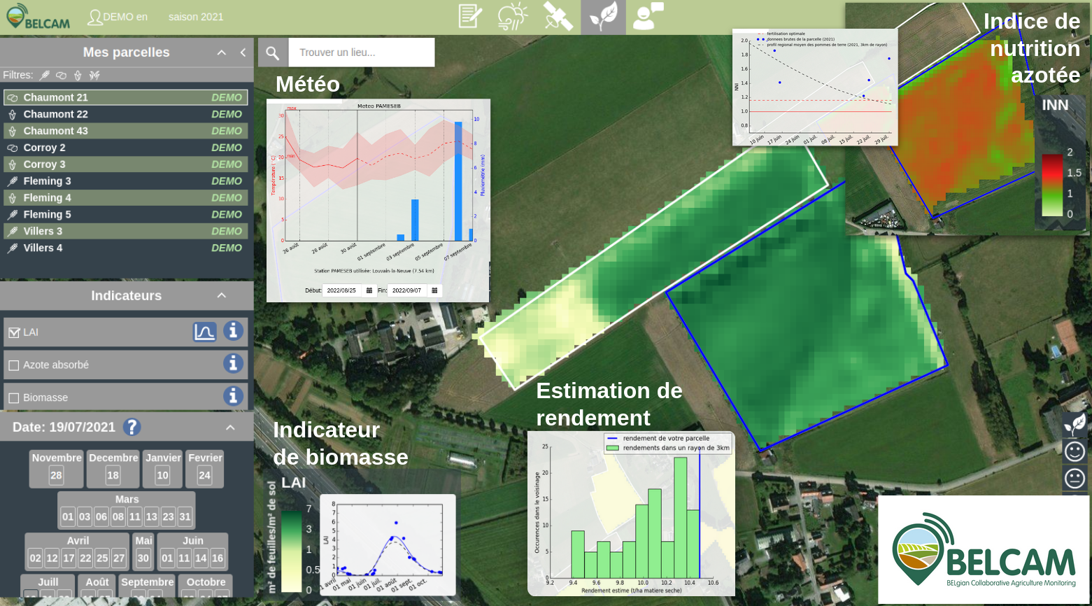
Best monitoring of agriculture plots by satellite
The BELCAM platform provides new products from satellite information to improve the management of agricultural plots.