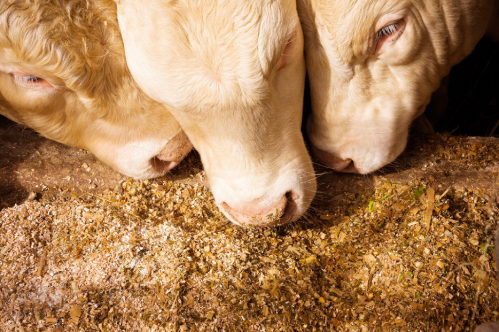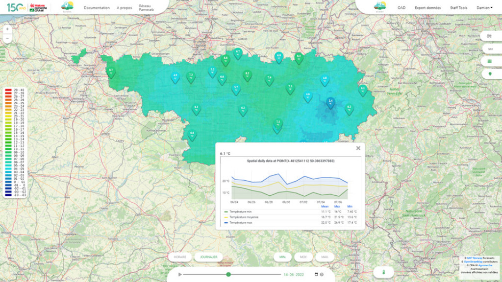
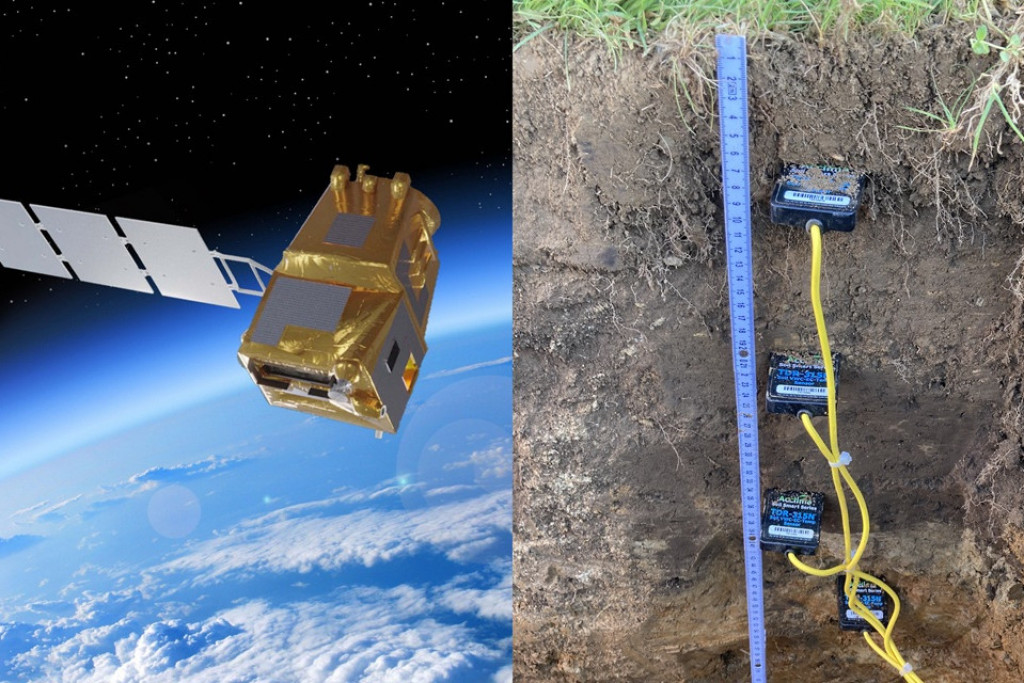
Figure 1 : Artist's impression of a future LSTM satellite (credit: ESA) and photo of the installation of water content and soil temperature probes at the Pameseb station in Libramont (credit: CRA-W)
Context
Copernicus, the European Union's Earth observation programme, is planning new Sentinel satellite missions for 2028 to improve the quality and spatial and temporal resolution of its products. The LSTM (Land Surface Temperature Monitoring) mission will measure surface temperature, the CHIME (Copernicus Hyperspectral Imaging Mission for the Environment) mission will produce hyperspectral images linked to crop health and the ROSE-L (Radar Observing System for Europe - L-Band) mission will provide products for estimating soil water content.
Objective
The aim of the SENWISE project is to prepare the ground for the use of products from these new missions in agriculture and forestry in Belgium, France and Italy.
Tasks
The project partners simulate future earth observation products by combining existing satellite images, synthetic data and ground reference data. The CRA-W, with its network of weather stations, provide some of these reference data: soil temperature and soil water content. As a field player, the CRA-W is responsible for assessing the relevance of future Earth observation products for agricultural applications, in particular for developing indices of soil moisture status.
Key results for the CRA-W
- 10 Pameseb stations were equipped with probes recording soil water content and soil temperature.
- Field observations provided by the CRA-W have demonstrated the value of an improved satellite product for estimating surface temperature, showing that it correlates better with environmental variables measured at stations than the original satellite product.
- Case studies in Wallonia and the Italian mountains reveal that the 10-day maximum of the difference between air temperature and satellite-measured surface temperature could be a good indicator of grassland drought.
Partners
- Spacebel - Belgique
- Centre Spatial de Liège – Belgique
- Eurac Research Institute for Earth Observation – Italie
- Diginove - France
- Entente Valabre - France
- Centre wallon de Recherches agronomiques - Belgique
Funding
European Space Agency (ESA).
Contact : Damien Rosillon, Sébastien Dandrifosse