W@llHerbe, a decision-making tool for grazing management
Workshops with farmers have enabled us to co-construct a decision-making tool based on land observation and modelling approaches in order to monitor grass growth and optimise grazing....

Workshops with farmers have enabled us to co-construct a decision-making tool based on land observation and modelling approaches in order to monitor grass growth and optimise grazing....
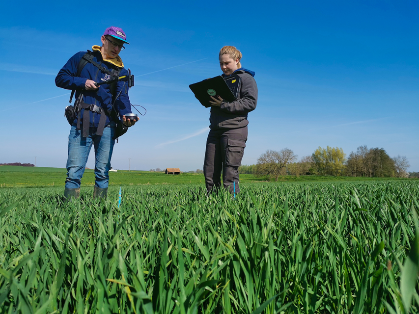
In this context, the SPAGHYTI project aims to make the most of hyperspectral satellite images to monitor nitrogen status and (a)biotic stress at the level of winter wheat fields in...

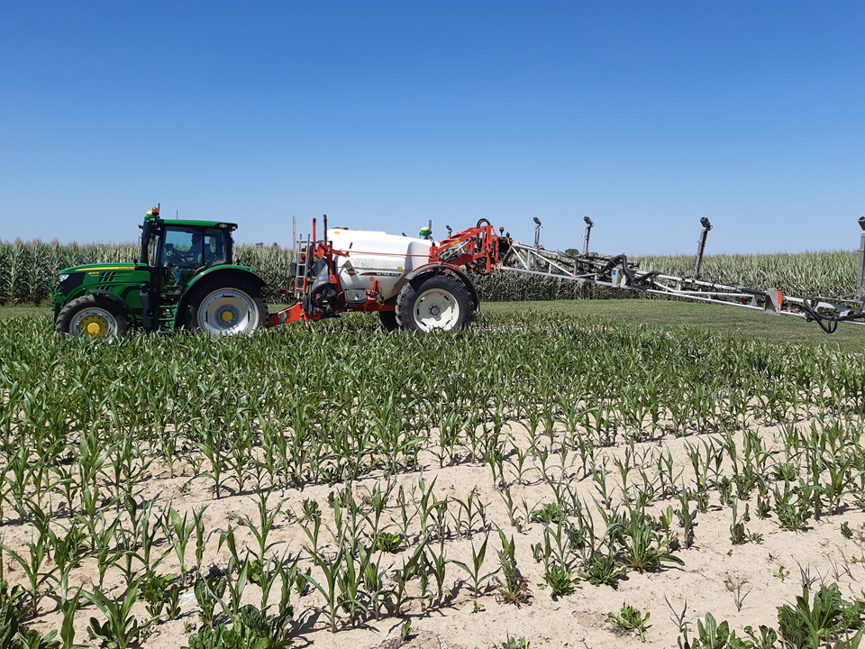
Using precision agriculture, InnovEau aims to combat the risk of groundwater contamination by plant protection products (PPPs).

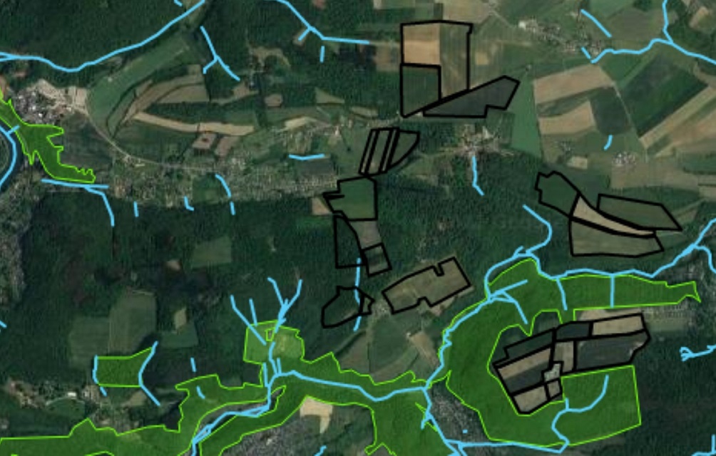
The CRA-W is helping to improve the Walloon FaST app, a free digital tool to help farmers optimise fertilisation on a parcel of land.

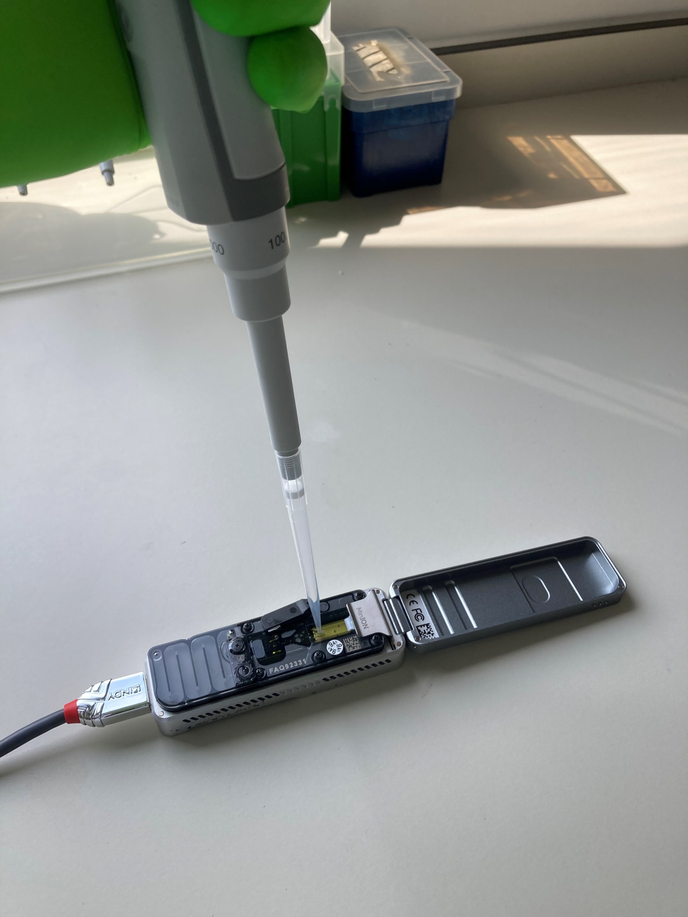
The CRA-W has developed expertise in the field of bioinformatics and has acquired computers with high processing power to make use of these new technologies.

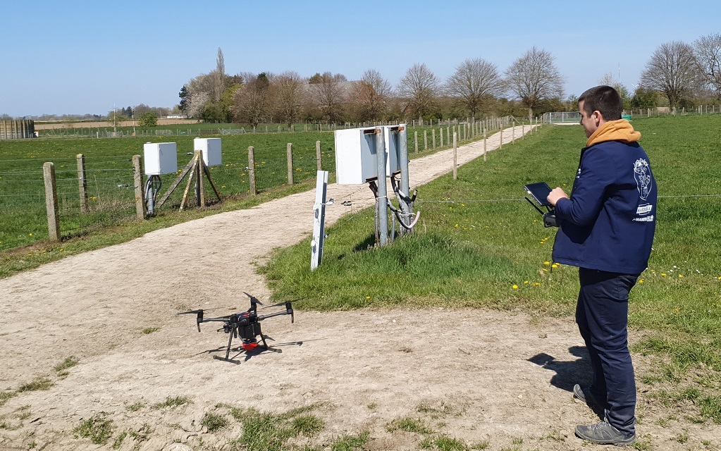
Agriculture, environment: 6 Walloon stakeholders have joined forces to define a framework for the protection and exploitation of data

The SAGRIWASENT project team is developing operational methods for the monitoring of agricultural activity in the Walloon region by means of SENTINEL satellite images.
InnovEau, via precision agriculture, aims to limit the risk of groundwater contamination caused by plant protection products (PPP).