

Drone-based Phenotyping for Experimental Fields
CONTEXT
Before new agricultural products such as seeds, fertilizers, plant protection products, or other bio-chemicals are used at large scale, they must undergo a series of rigorous investigations to demonstrate their safety and efficacy.
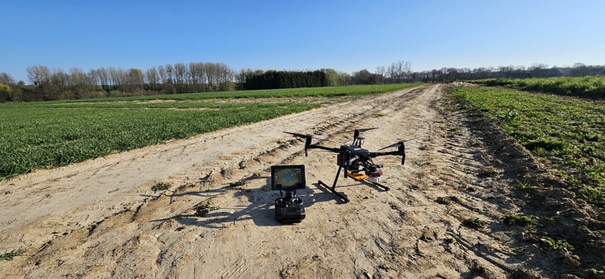
These trials traditionally rely on observations and measurements carried out manually in the field, requiring considerable time and human resources. The results obtained may also be influenced by the subjectivity and variability inherent to individual operators. Remote sensing technologies therefore represent a complementary, objective, reproducible, and scalable approach that can improve the quality, consistency, and comparability of the data collected within the framework of these trials.
OBJECTIVES
The D-PEF project aims to advance product evaluation methods in crop production by integrating remote sensing technologies, including proximal sensors as well as drone- and satellite-based imaging, into protocols that comply with Good Experimental Practices. The project is structured around three main objectives:
- Develop RS-based protocols and computer vision AI algorithms tailored to specific crop–pest combinations, validated at plot level to ensure accuracy and regulatory compliance.
- Operationalize the tools by integrating validated algorithms into platforms such as MAPEO, and OpenEO, and providing training and documentation for internal and external users.
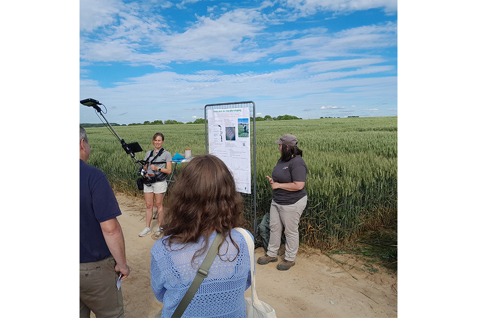
- Engage customers and stakeholders through workshops, field visits, and demonstration events to promote adoption and build momentum across the CRO and regulatory landscape.
USE-CASES
The project will be built around six case studies that are representative of the main challenges encountered in field trials:
- Identification of foliar diseases in cereal crops;
- Detection of phytotoxicity symptoms in wheat;
- Detection of Fusarium head blight in wheat;
- Identification of weeds in maize crops;
- Detection of lodging in cereal crops;
- Characterization of within-field soil heterogeneity.
Overall, CRA-W will contribute actively to the design of experimental protocols, the acquisition of remote sensing data, the development and validation of novel algorithms, and the dissemination of these innovative tools through dedicated events and field trial demonstrations.
Partenaires


Financement
RESEARCH PROGRAMME FOR EARTH OBSERVATION STEREO IV – BELSPO