The basis of agronomic research: observation?
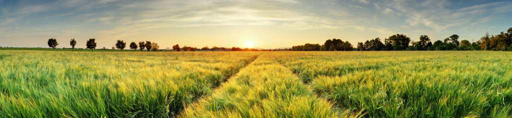
In agricultural research, many observations are made. In field crops, these observations concern plant diseases, the effect of pests, the appearance of weeds, the growth of biomass during the season or the impact and damage following extreme events (drought or floods).
How do these observations take place?
Originally, observations were made in the field by the observer with a notebook and a pencil. With technological advances and the development of statistical models, observations can now be obtained directly from sensors in the field or on board agricultural machinery. Some sensors are on drones or satellites, which makes it possible to increase the footprint and observe large areas with a few images.
Increasingly precise observations
At CRA-W, the first studies on the use of satellite images date back to 1985. They were done within the framework of the TELSAT programmes, financed by the Federal Science Policy. The objective was to identify the crops and to check if disease symptoms could be detected on the crops using SPOT images. Currently, images from Sentinel satellites are used, which have a spatial resolution of about ten meters. Drones have been used since 2014, which can provide much more precise images on the order of 2 to 5 cm. In 2020, weeding robots made their appearance at CRA-W; some models are equipped with cameras in order to adjust the weeding tool in relation to the crop being studied.
Weather observations
To carry out the research, it is necessary to have meteorological observations because the weather is a decisive daily parameter for the farmer. Since the beginning of its creation, CRA-W has collaborated with the IRM through the monitoring of observations from the Gembloux-Ernage station and, since 2015, CRA-W has had an agrometeorological network made up of around thirty stations from which the data is spatialised and made available to researchers and farmers (agromet.be).