CRA-W is currently assessing the situation with airborne and satellite images.
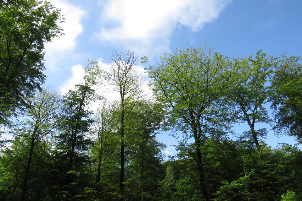
Several reports from the “Walloon observatory for forest health” (OWSF, “Observatoire wallon de la santé des forêts”) have stressed that Walloon forests are currently exposed to several stress factors (e.g. extreme weather events, pest and diseases, etc.) inducing a forests decline. This decline represents an important threat for the durability of forest management Wallonia and implies the setting up of a continuous monitoring over the whole region.
In this context, CARTOFOR project aims at developing innovative methodologies allowing the characterisation et and the monitoring of the structure, the composition and health status of forest stands, mainly based on airborne and/or satellite data.
More specifically, the project tackles 2 main topics :
- The first topic aims at the monitoring of forests composition and health. This topic addresses several subjects :
- The identification of specific composition of forest stands with a view to improve the mapping of main stands types.
- The monitoring of forest decline and emerging diseases based on 3 identified case studies: the douglas fir decine, the beech decline and the “sudden death” of larch.
- The identification of resistant trees. In forestry, methods for managing diseases are quite limited. The search for resistant trees represent one of the main approaches to face emerging diseases with a fast dispersal threatening the survival of tree species. The project focuses on the specific case on ash chalarosis induced by Hymenoscyphus fraxineus
- The monitoring of bark beetles infestation (Ips typographe et Pityogenes chalcographus) in spruce stands.
- The second topic aims at developing processing chains allowing to valorise the new available earth observation data sources (airborne and satellite images, LIDAR) with a view to characterise (resinous and deciduous) forest stands.
Results of CARTOFOR project will support the activities of the OWSF but will also enrich the geographical databases of DNF or SPW.
Partnership
ULg Gembloux Agro-Bio Tech – Unité des Ressources forestières : Philippe Lejeune, Nicolas Latte
Funding
the CARTOFOR project is funded by the ‘Public Service of Wallonia’ (SPW – “service publique de Wallonie)