Observing the weather is not just about placing sensors in a field. Rain gauges clog, humidity probes drift and anemometers get blocked. If stations are not maintained and data is not verified, the risk of error is high. More than ever, weather observations are at the heart of agricultural decision-making. The climate is changing. Weather data feeds complex decision-making tools in order to conceive phytosanitary treatments. To make smart decisions, you need local and accurate observations.
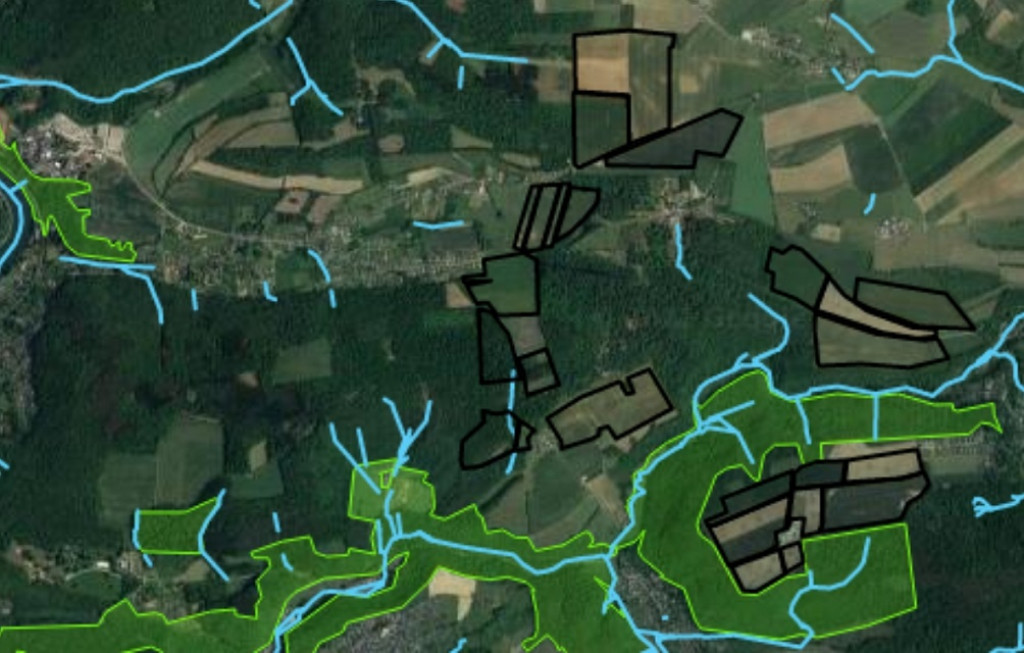
Two sources of real-time data exist in Wallonia. On one hand, the CRA-W’s Pameseb network, an expert network of thirty stations whose data is integrated into the Agromet.be platform and can be accessed by anyone. On the other hand, private networks of connected weather stations, which are being purchased and installed in fields by farmers in increasing numbers. Each network has its own strengths and weaknesses. In the Agromet II project, the intention is to combine them to make them both stronger. The CRA-W network and its team of experts provide quality control, while the farmers’ stations improve coverage.
The first phase of the project involves improving the quality of the expert network even further. To do this, an automatic quality control process is implemented: the computer subjects the data to a series of tests to detect errors. Human monitoring, which is carried out every morning, is also bolstered. Finally, the stations will be equipped with state-of-the-art weighing rain gauges.
The second phase, which is coordinated by the non-profit WalDigiFarm, aims to establish data-sharing agreements between researchers, station manufacturers and farmers. At this level, it is a pilot project: respecting ownership of weather data, some of which is private, is a real issue. The goal is to create a community of farmers who share their observations and benefit from them.
The third phase will put the pieces of the puzzle together. Automatic quality control will be applied to farmers’ data in order to improve its quality. This data will then be used to improve the spatial weather data based on a 1 km² grid. Two tools can be offered to the farmer at this stage. One one hand, a tool called ‘My Quality Control’, which will send an alert to the station in the event of a measurement error. On the other hand, a tool called ‘My weather report’, which will summarise weather observations, for example, with a map of cumulative precipitation over the week.
Funding
Project subsidised by the Walloon Recovery Plan from the Walloon Government
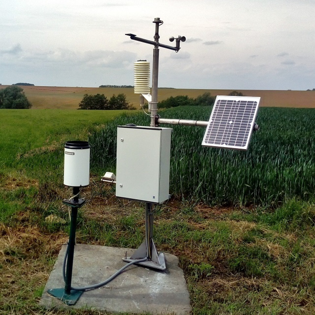
Photo caption
Weather station in the CRA-W expert network