Towards more sustainable agriculture
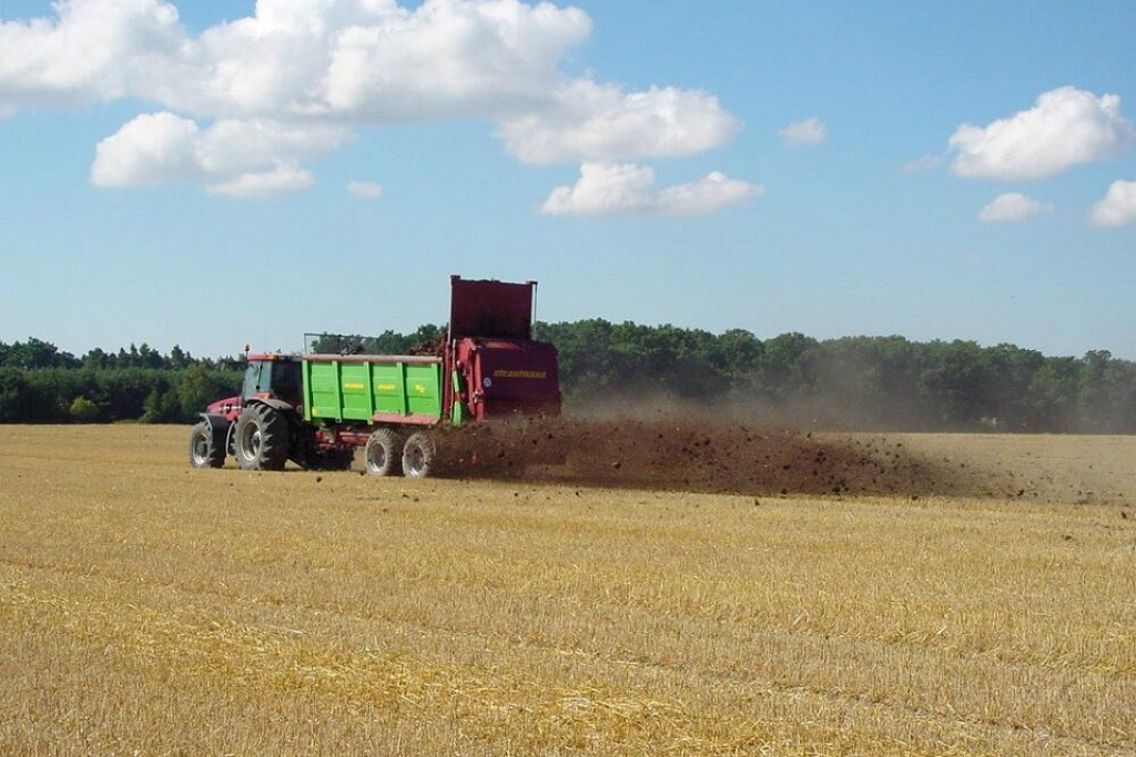
The excessive use of inputs (fertilizers, herbicides, pesticides but also irrigation) plays a major role in the degradation of the environment. Farmers are aware of this and tend towards a more rational use of these inputs, which continues to guarantee yields.
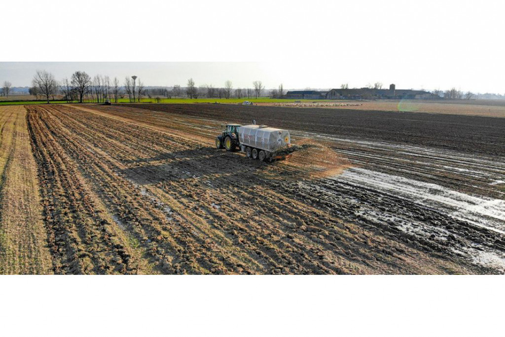
Currently, croplands receive broadcasted applications of fertilizers that are very often homogeneous across all plots. However, soil properties and crop conditions can vary considerably over space and time within a single field.
Soil properties scrutinised by drones
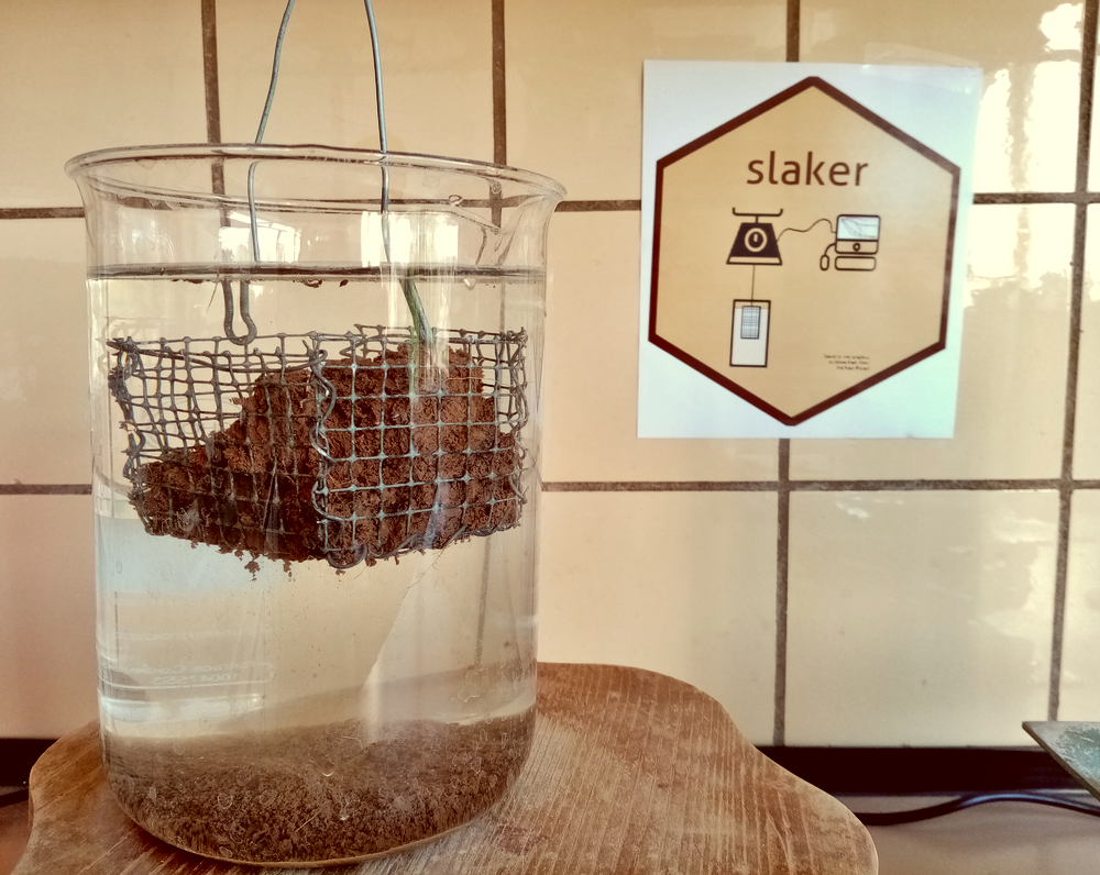
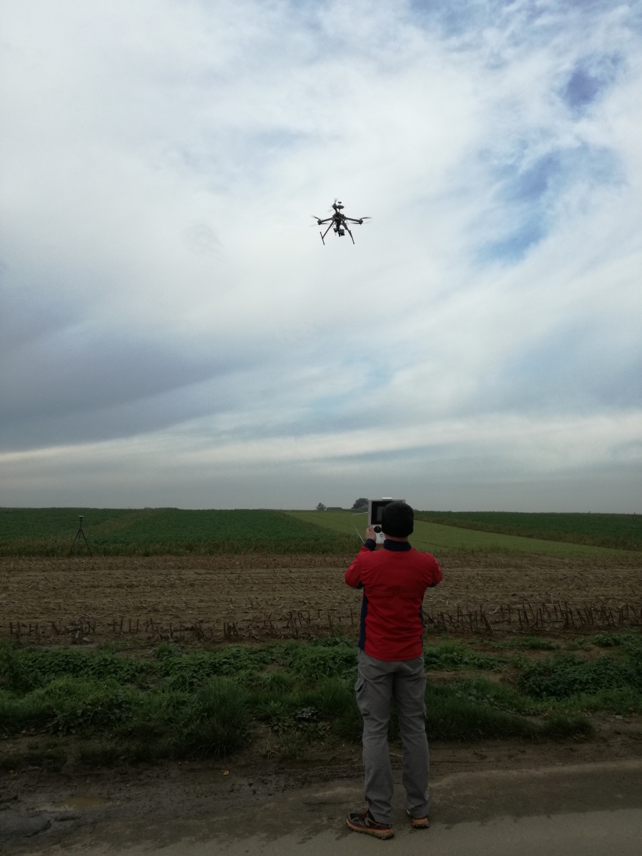
Lightweight spectrometers mounted on drones are promising for monitoring soil properties such as soil organic carbon (SOC), nitrogen (N), phosphorous (P), exchangeable cations, pH or soil texture and at the same time crop growth throughout the growing season.
The STEREO project UAVSoil (UAV borne spectrometers for high resolution soil and crop monitoring) brought together researchers from the Université Catholique de Louvain, the Centre Wallon de Recherches Agronomiques and the German Research Centre for Geosciences to try to explore the link between the spatial variations in crop growth throughout the growing season and the patterns in soil properties.
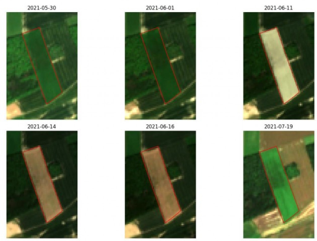
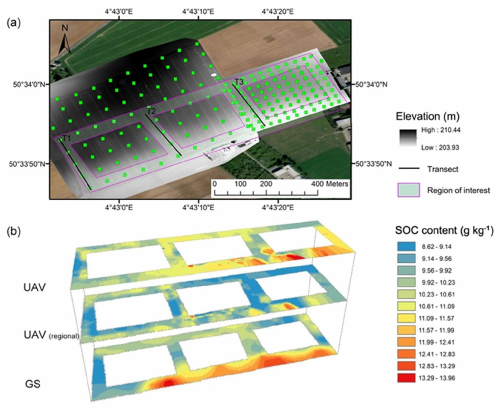
The researchers looked at a 17 ha plot resulting from an assembly of 4 old plots and cultivated in conventional agriculture in Gembloux. They tested the capacity of a multispectral camera (MicaSense® RedEdge-MTM ) mounted on a UAV to map the growth of winter wheat.
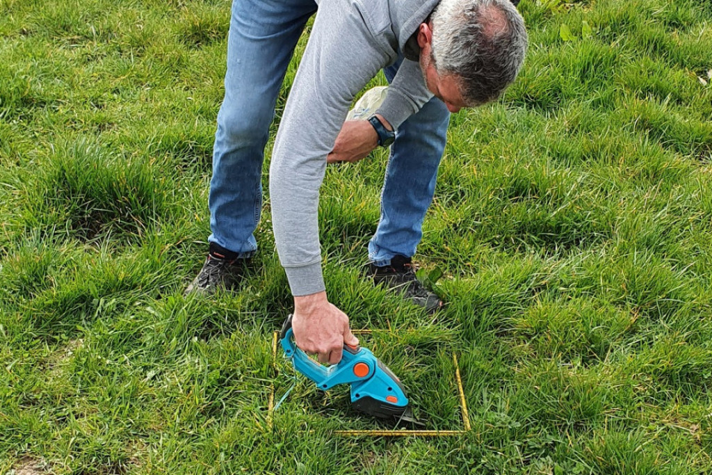
The first images were taken just after seeding, in the still bare topsoil of the field, and used to predict the organic carbon content. The other soil properties were obtained by traditional sampling and laboratory analysis.
Management history and soil properties
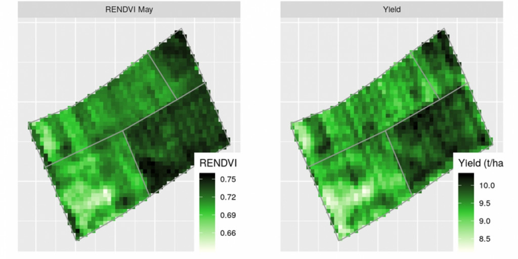
The results showed that the Red-Edge NDVI (RENDVI) was the most appropriate vegetation index to characterize the heterogeneity of crop development throughout the growing season. The RENDVI maps were highly correlated with the yield map produced by a harvester on-board sensor.
The analysis of the management history of the old plots as well as the soil data collected according to a regular grid showed the significant impact of management differences and the heterogeneity of the plot's soil properties.
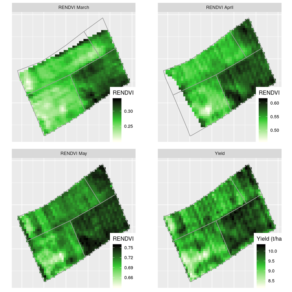
This heterogeneity has a direct impact on the development of the vegetation.Soil properties explain between 87 % (mid -March) to 78 % (mid-May) of the variance in crop growth, as well as 66 % of the variance in harvested yield. pH and exchangeable K are the most significant factors explaining from 15 to 26 % of the variance in crop growth.
These results pave the way for more specific plot management, based on crop growth patterns and soil properties. In the future, site-specific management based on soil and crop growth patterns will contribute to precision agriculture with reduction in fertilizer use.
Members of the UAVSoil project team
| Bas VAN WESEMAEL | Viviane Planchon |
 |
 |