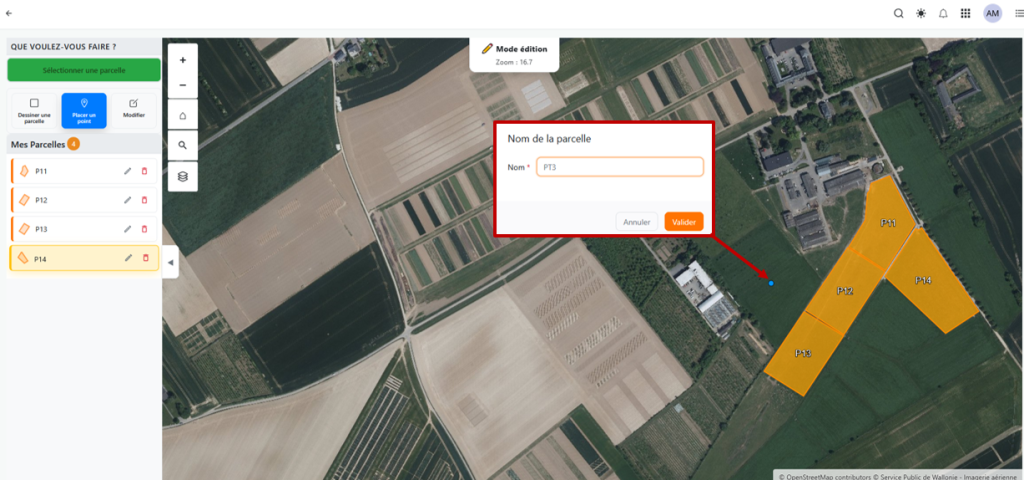
Mon Parcellaire is a digital plot management tool integrated into the WALLeSmart platform, designed for players in Wallonia's agricultural sector. Free and available to all, it enables users to create, view and monitor agricultural plots via a secure and user-friendly cartographic interface.
Mon Parcellaire makes it possible to manage plots and integrate them into W@llHerbe and MyFieldBook.
The tool centralises plot data (location, surface area, etc.) and ensures spatial consistency and temporal traceability. Thanks to its integration within WALLeSmart, Mon Parcellaire also drives the exchange and sharing of information between farmers, support services and other players in the sector, while respecting regulatory frameworks and data protection requirements.
In the MyFieldBook application, managed by WalDigiFarm, Mon Parcellaire provides the spatial reference for recording agricultural operations and plant protection product (PPP) applications, ensuring linkage between operational records and validated parcel geometries.
In W@llHerbe application, managed by the CRA-W, Mon Parcellaire can be used to define (select, draw and modify) the grasslands plots for which a farmer would like to obtain information on the grass biomass available.
By acting as a central geospatial reference layer, Mon Parcellaire provides essential support for the technical and administrative management of farms using different applications available on the WALLeSmart platform.