The fight against late blight relies on the repeated application of fungicides. The number and the targeting of treatments are based on decision support systems (DSS). These DSSs identify periods in which the weather conditions favour the development of late blight. The first treatments are generally recommended when symptoms of late blight are observed in the environment. However, in some years with low pressure, significant differences can be observed from one region to another.
The aim of the Potato Smart project (CRA-W – UCLouvain – FIWAP collaboration) is to develop tools to better anticipate the development of late blight using two combined approaches:
- Monitoring the flight of airborne spores based on sensor analysis (Burkhard), and flight modelling according to weather conditions
- Feedback from field observations through the development of a smartphone application
The use of data generated by spore sensors makes it possible to take account of the risk of developing late blight in the field. The results of the survey analyses carried out during the first 3 years of the project show strong correlation between the spore sensor data and the development of symptoms in the field. An initial agronomic trial demonstrated the importance of this device in reducing the number of applications.
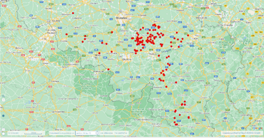
Several teams have been scouring Wallonia in search of outbreaks of late blight infection for many years. The observations are encoded manually on a spreadsheet file and shared by email. However, it would be preferable if these valuable observations could be more rapidly, more efficiently shared with the various people involved.
The CRA-W is currently developing a smartphone application that allows users to fill in a form and add photos. The data is automatically geolocated, then sent and centralised from the first available WiFi or 4G connection. The data will then be quickly processed and analysed, creating a simple, didactic online display: maps showing outbreaks and the intensity of infections, time graphs, etc.
The tool is currently being developed on the pilot centre platform (https://centrespilotes.be/). This type of online form is a textbook case that can be applied to other crops, diseases, or types of observations.
Funding:
SPW ARNE

