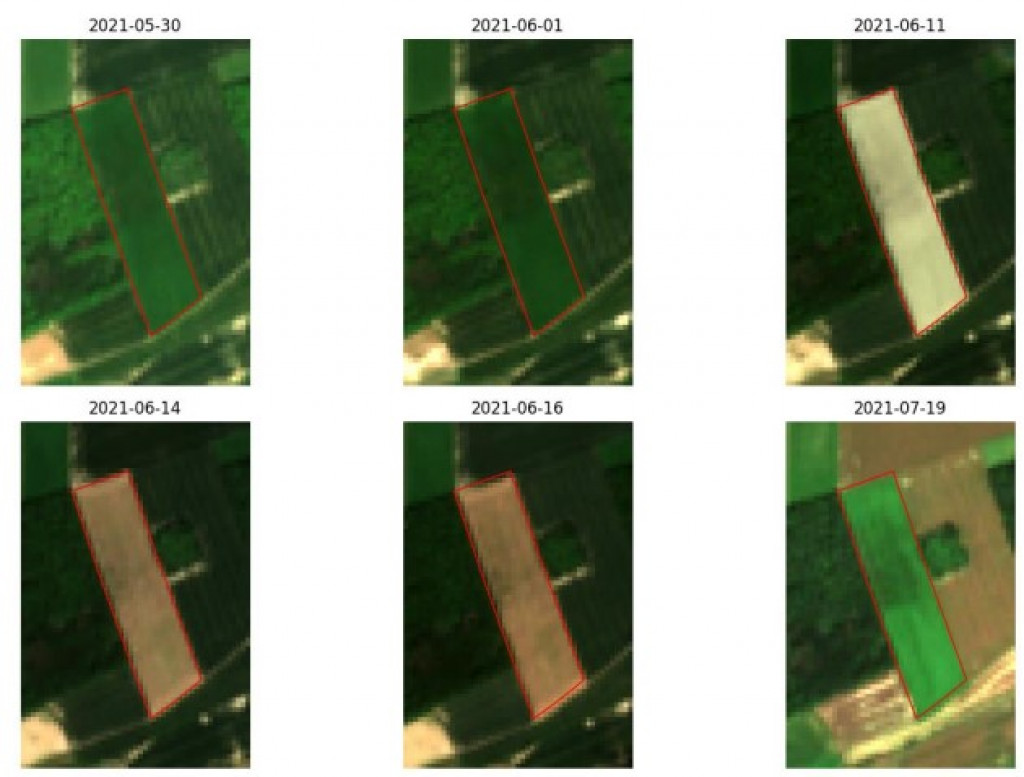
The relevance of multispectral satellite imagery for such applications has already been demonstrated by CRA-W projects (e.g. the BELCAM] and SAGRIWASENT projects). The hyperspectral satellite images used in the SPAGHYTI project are unique in that they can offer a greater number of narrow spectral bands. This special feature, coupled with a higher acquisition frequency, should enable finer characterisation of the phenomena under consideration, at marginal cost.
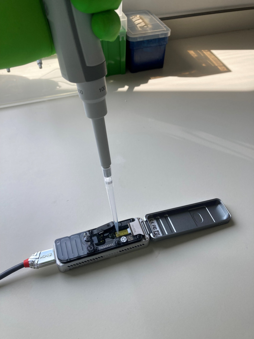
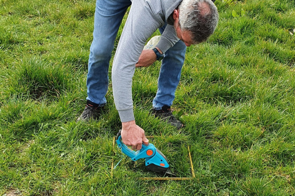
In order to calibrate and validate the algorithms, intensive field campaigns are organised. The first of these took place during the 2022-2023 season (March to July). Various observations and measurements were carried out regularly, including field qualification of diseases, measurement of spectral data using a portable spectrometer (ASD FieldSpec 4) and characterisation of the canopy using hemispheric images. It continued with the collection of samples and the measurement of dry matter and nitrogen, in the whole plant but also specifically in the ears at the end of the season, carried out in the laboratory by infrared spectrometry (FOSS NIR XDS). A second field campaign is scheduled for the 2023-2024 season.
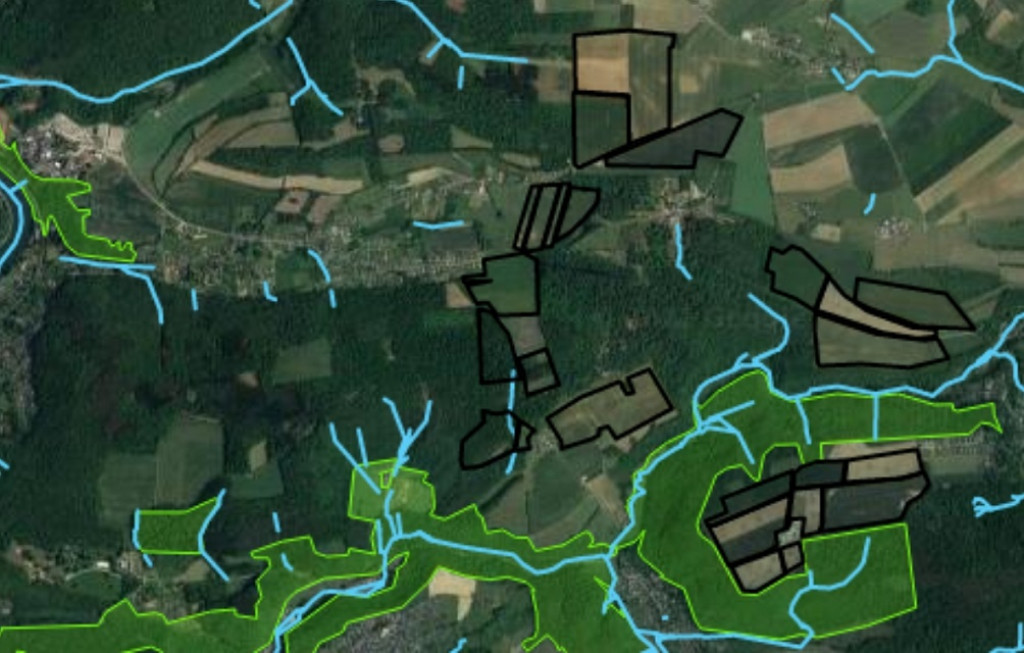
An initial calibration of the algorithms was carried out on the basis of data from varietal trials (fertilisers, post-registration and fungicides) set up by CRA-W or CePiCop (fertiliser trials). Validation of these algorithms is based on data collected from farmers' field, compatible with the spatial resolution of hyperspectral satellite images. Algorithm development involves identifying the most relevant wavelengths or combinations of wavelengths (in the form of indices). The initial results obtained highlight the relevance of hyperspectral imaging for monitoring nitrogen status.
Digital agriculture is booming, and the contribution of satellite imagery is undoubtedly an innovative approach contributing to the evolution of Walloon agriculture towards greater resilience and greater respect for the environment.
![]()
Financing: "skywin" competitiveness cluster, agreement no. 8614
Cooperation partnership: private stakeholders (Constellr – project coordinator, AMOS, DELTATEC) and scientific/technical stakeholders (UCLouvain, CePiCop)