Thématique
satellite

Des parcelles du CRA-W au service de la métrologie spatiale
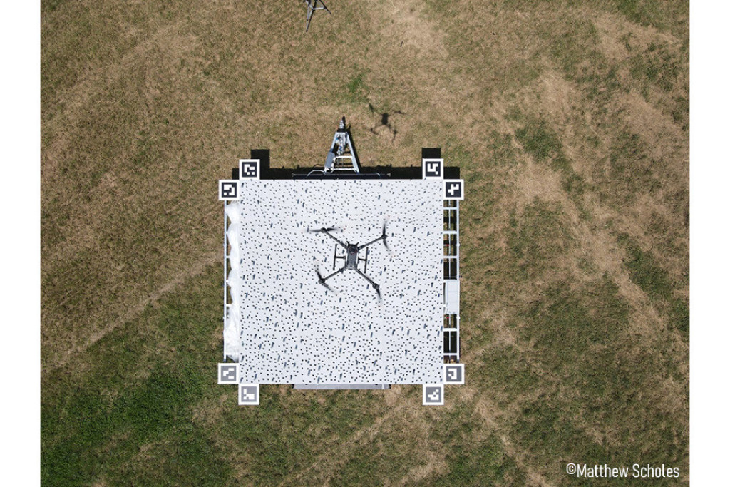
Dans le cadre du programme FRM4VEG (Fiducial Reference Measurements for Vegetation) financé par l'Agence spatiale européenne (ESA), le CRA-W a accueilli une campagne de mesure de réflectance...
Les satellites au service des agriculteurs
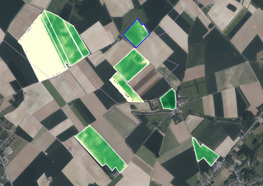
BELCAM fait peau neuve avec une interface revisitée, compatible smartphone et de nouveaux indicateurs pour le suivi des cultures.
Satellites supporting farmers – BELCAM 2.0
BELCAM will have a new look, with a revamped, smartphone-compatible interface and new crop monitoring indicators
Un jumeau numérique pour une agriculture résiliente
SaveCrops4EU, un nouvel outil pour assister la prise de décision dans le contexte incertain du changement climatique !
A digital twin for resilient agriculture
SaveCrops4EU – a new tool to support decision-making in the uncertain context of climate change!

Suivi des céréales par les satellites hyperspectraux
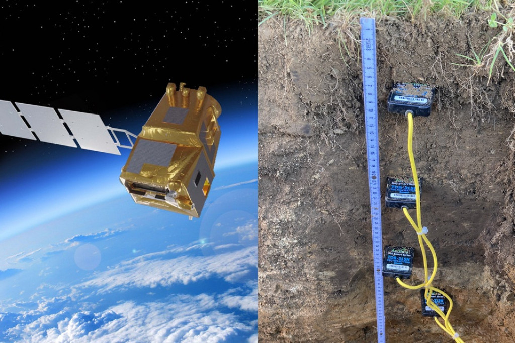
Le projet SPAGHYTI vise à valoriser des images satellitaires hyperspectrales pour suivre les stress (a)biotiques et le statut azoté du froment d’hiver au sein des parcelles wallonnes.
Monitoring cereals with hyperspectral satellites
The SPAGHYTI project aims to make the most of hyperspectral satellite images to monitor the (a)biotic stress and nitrogen status of winter wheat in fields located in Wallonia.
SENWISE
Préparer les nouvelles missions satellitaires Sentinel à répondre aux besoins de monitoring en agriculture et foresterie.
SENWISE
Prepare the new Sentinel satellite missions to meet monitoring needs in agriculture and forestry.